
Welcome to El Yunque
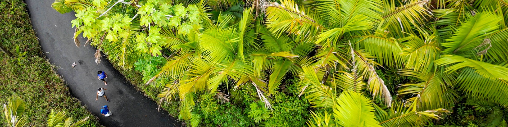
Located in Puerto Rico's Northeast Region, El Yunque National Forest is the only tropical rainforest within the national forest system. It extends through eight municipalities: Río Grande, Luquillo, Canóvanas, Fajardo, Naguabo, Ceiba, Las Piedras and Juncos. At nearly 29,000 acres, it is one of the smallest in size, yet one of the most biologically diverse.
Come experience the breathtaking scenery, clear mountain rivers, and outdoor recreation opportunities year-round.
El Portal de El Yunque
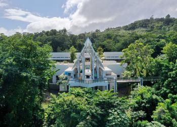
El Yunque's main visitor center is best place to Explore, Discover and Connect with your National Forest. Click the link for more information.
Visitor Maps and Guides
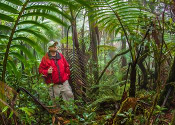
El Yunque National Forest continues to work towards becoming a completely digital–based (paper-free) forest! Click to access some of our digital maps.
Access to the Forest
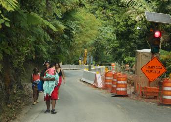
The Forest Service continues to manage visitor capacity due to limited parking and disaster recovery construction. Click for more details on access.