
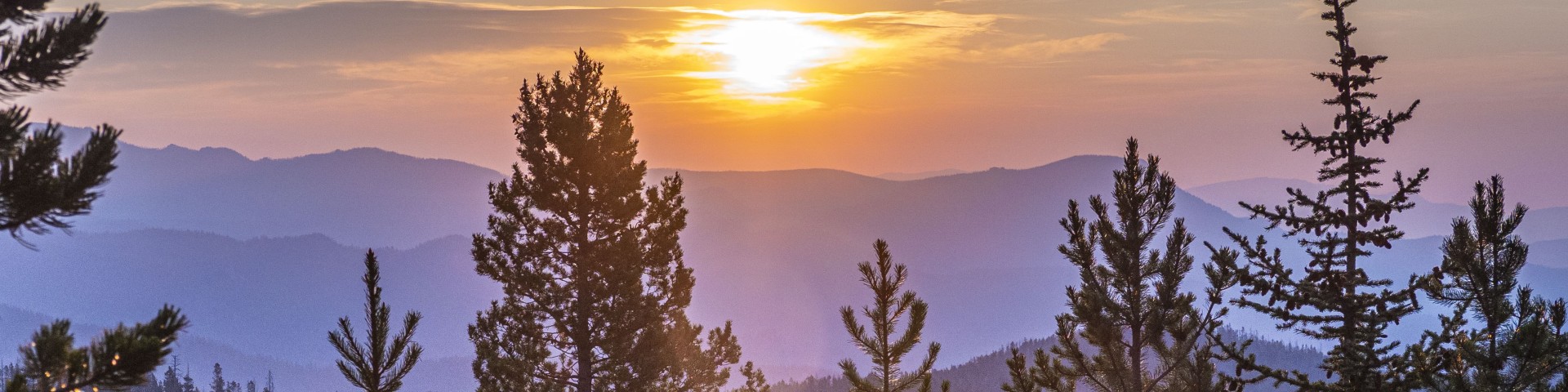
Welcome to the Beaverhead-Deerlodge National Forest
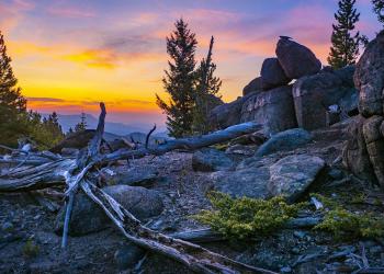
The forest provides timber, minerals, grazing lands, and breath-taking scenery for a wide variety of recreational pursuits. Whether it's wilderness trekking in the Anaconda-Pintler or Lee Metcalf wildernesses, driving the Gravelly Range Road or Pioneer Mountains Scenic Byway, or camping in one of the campgrounds in the forest, the Beaverhead-Deerlodge has it all.
Recreation
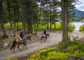
Explore campgrounds, cabins, and recreational opportunities.
Book a cabin
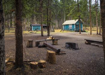
Find a cozy retreat in a beautiful setting.
Get permits
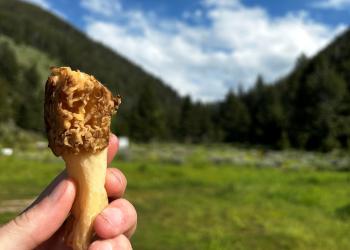
Harvest firewood, Christmas trees, mushrooms, and more.
Explore safety & ethics
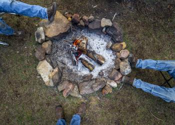
Discover tips for coexisting with our furry friends, winter recreation, campfires, and more.
Recent news
Keep up to date on the latest information.
Have a question?
Let us know how we can help