
Welcome to Ozark-St. Francis National Forest
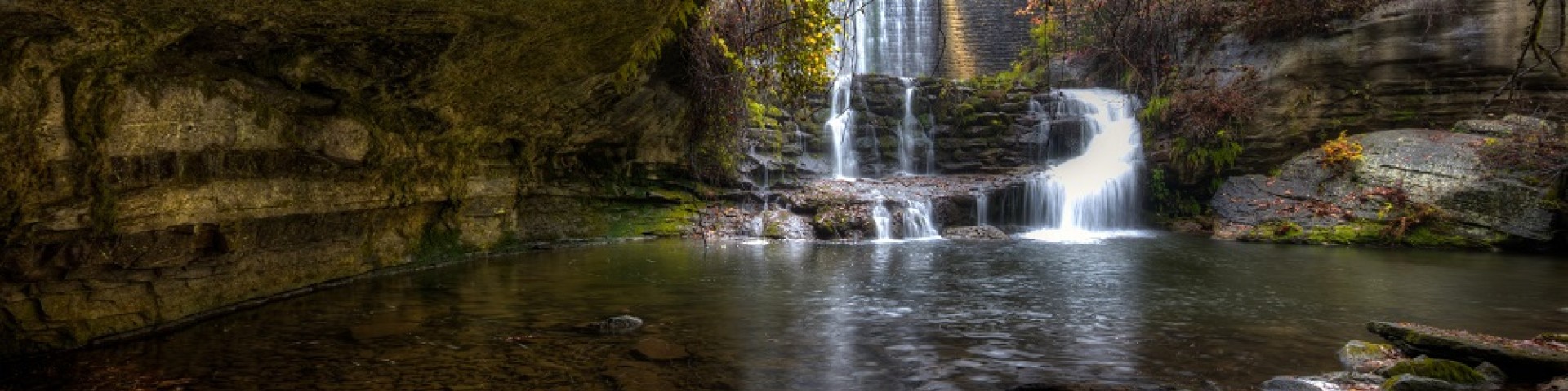
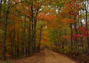
As one of America's most scenic and picturesque areas, the Ozark-St. Francis provides a lot of the "natural" in the Natural State of Arkansas. We have something for everyone and are on the way to almost everywhere in Arkansas!
Recreation
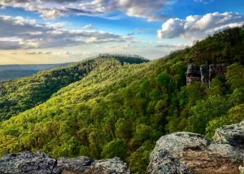
The Forests' rugged scenic beauty offers a wide variety of year-round recreational opportunities! Whether you are a hiker, camper, kayaker, horseback rider, hunter, fisherman, or anything in between, the Ozark-St Francis National Forests provide new adventures around every bend.
Be Prepared

Before embarking on your outdoor adventure, be prepared with maps available in several formats: Interactive, downloadable, and geo-referenced.
Blanchard Springs Caverns Reservations
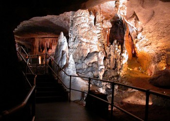
Tours can sell out quickly during the busy season. You can see ticket availability and make reservations at Recreation.gov. Reservations must be made through Recreation.gov.
Timber Sales
The Ozark-St. Francis National Forests maintain an active timber sale program. Timber sales improve overall forest health, reduce fuels loads to limit catastrophic wildfire and improve wildlife habitat. It is our goal to provide an annual even flow of wood products to our customers.
Fire
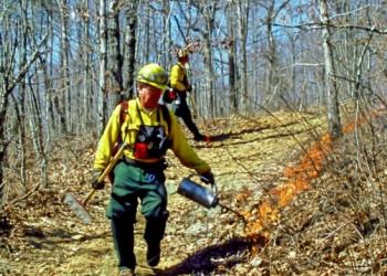
The forest conducts prescribed burns annually. The purposes of these burns are to re-establish fire’s natural role in the forest ecosystem, improve forest health, and reduce the threat of catastrophic wildfires.