
Welcome to Modoc National Forest
Your adventures await — embrace the journey!
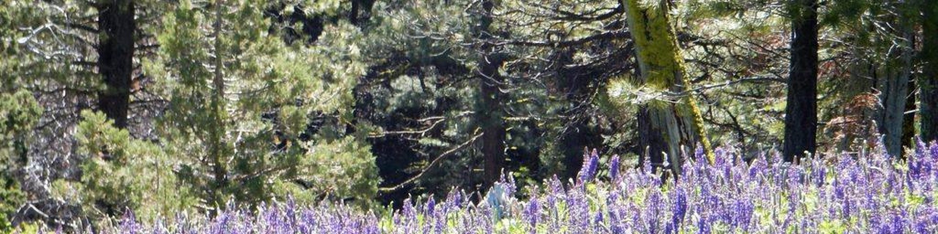
Located in California's northeastern corner is a stunning vacation destination featuring diverse landscapes, including the volcanic Cascades, picturesque Warner Mountains, lush forests, expansive ranges, and the unique Devils Garden. The Modoc National Forest invites you to explore the countless recreational opportunities that await you, from scenic drives and inviting picnic areas to campgrounds boasting breathtaking vistas. Embrace the wonder of star gazing in a dark sky sanctuary, immerse yourself in the beauty of abundant wildlife, and embark on adventures through hiking, fishing, OHV use, obsidian collecting, and so much more.
Forest Order No. 09-25-02 Fire Restrictions

Devil Garden Wildhorses
| Date | Location | Studs | Mares | Foals | Deaths Chronic/Acute |
Totals | |
| 8/27 | North Springs (Trap 82) Bait | 2 | 3 | 0 | 0 | 0 | 5 |
| 8/28 | Bait Trap 63 & Boles Tank Bait trap25 | 4 | 4 | 1 | 0 | 0 | 9 |
| 8/30 | Boles Tank Bait Trap 25 & Bait trap 63 | 6 | 4 | 2 | 0 | 0 | 12 |
| 9/01 | Boles Tank BaitTrap 25 | 2 | 0 | 0 | 0 | 0 | 2 |
| 9/02 | Lauer Reservoir (Trap 49) | 3 | 4 | 2 | 0 | 0 | 9 |
| 9/03 | Lauer Reservoir (Trap49) | 4 | 5 | 1 | 2 | 0 | 12 |
| 9/04 | DeCamp Stock Tank | 4 | 7 | 0 | 1 | 0 | 12 |
| 9/05 | DeCamp Stock Tank | 3 | 7 | 0 | 1 | 0 | 11 |
| 9/06 | Lauer Reservoir (Trap49) | 6 | 3 | 0 | 0 | 0 | 9 |
| 9/07 | DeCamp stock tank | 3 | 1 | 0 | 0 | 0 | 4 |
| 9/08 | Trap 35 | 5 | 5 | 1 | 0 | 0 | 11 |
| 9/08 | Drift Fence Tank | 1 | 5 | 2 | 0 | 0 | 8 |
| 9/09 | Lauer Reservoir Trap 49 | 3 | 3 | 2 | 0 | 0 | 8 |
| 9/10 | Trap 35 | 0 | 3 | 0 | 0 | 0 | 3 |
| 9/11 | Trap 35 | 1 | 3 | 0 | 0 | 0 | 4 |
| 9/12 | Trap 41 | 1 | 5 | 1 | 0 | 0 | 7 |
| 9/13 | Lauer Reservoir Trap 49 | 1 | 2 | 1 | 1 | 0 | 5 |
| 9/14 | Trap 41 | 3 | 1 | 1 | 0 | 0 | 5 |
| 9/16 | Lauer Reservoir Trap 49 | 2 | 2 | 1 | 0 | 0 | 5 |
| 9/16 | Boles Tank Bait trap 25 | 2 | 5 | 0 | 0 | 0 | 7 |
| 9/16 | Garden Tank Bait trap 59 | 0 | 0 | 0 | 1 | 0 | 1 |
| Total gathered | |||||||
| 149 | |||||||
The Devil's Garden Wild Horse Territory spans an impressive 500 square miles of rugged terrain, nestled right outside of the town of Alturas, California. The largest wild horse territory managed by the US Forest Service.

Horses have been present on the Devil's Garden Plateau since shortly after the first pioneers arrived. Into the early twentieth century, prior to cars, lighter bred horses were used as ranch stock in the summer months and heavier draft horses were used to pull wagons to feed stock in the snowy winter months. When not being utilized, horses were turned out on the Devil’s Garden Plateau to graze. Overtime, many horses escaped or were not gathered as their usefulness as domestic animals ended. Additionally, local calvary mounts escaped and made their way to the Plateau.
Until the Wild Free-Roaming Horses and Burro Act of 1971 was enacted, wild horses on the Devil's Garden Plateau were managed by local ranchers and farmers. Once The Act was in place, the Forest Service began management and inventoried the local herd. Now, more than 50 years later, wild horses roam on the Devil's Garden Plateau and are managed by the United States Forest Service with an appropriate management level (AML) of 206-402 horses.

The Devil’s Garden Plateau WHT is located in California approximately seven miles north of Alturas. The territory consists of approximately 258,114 Forest Service acres with 7,759 acres of public lands administered by the Bureau of Land Management’s Applegate Field Office (BLM). The WHT sits within the Devil’s Garden Plateau, a relatively continuous flat lava plateau sitting at 5,000 ft. elevation.
The Devil’s Garden Plateau is considered a high desert sagebrush-steppe ecosystem that receives most precipitation between the months of November and March. Average annual precipitation is 12.6 inches. Temperatures during winter can be severe for short periods of time, and summer temperatures frequently exceed 90° Fahrenheit.
Vegetation is typical of a high desert ecosystem with perennial bunch grasses, western juniper, big sagebrush, and increasing invasive annual grasses such as cheat grass, medusa head, and wire grass.
Wildlife present within the territory include elk, deer, antelope, cougar, rabbits, rodents, migratory birds and aquatic species dependent on delicate high-desert riparian areas.

The Devil’s Garden Plateau WHT has deep roots in ranch stock, draft breeds, and calvary mounts resulting in the herd displaying characteristic of these breed types. The herd is well known for their strong, large, feathered feet that can thrive across lava rock. They vary in size but average between 14 and 15 hands, though it is not uncommon to find ones that can be larger. The dominant herd colors are bays, blacks, and roans; however, buckskins, sorrels, grays and palominos can be found as well. Due to their size, temperament, and solid feet, these horses have been commonly used for trail riding, ranch work, police mounts, therapy work, and as show horses.

Welcome to Double Devil Corrals! Here, you will conveniently have access to a wide range of essential documents, frequently asked questions, and much more, all in one place.
What is Adoption and How Much Does It Cost?
Adoption: Adoption Fee: $125
Wild horses and burros younger than 10 years old –that have not been offered for adoption at least three times. Adopters must successfully provide Maintenance and Care under humane conditions for a minimum of one year, in order apply for title. See Titling section below for more information.
Sales with Limitations:
Sale Fee: $25.00
Wild horses and burros more than 10 years old – as well as younger animals that have been offered for adoption at least three times – are eligible for sale. Purchasing a wild horse or burro means that ownership of the animal passes immediately from the federal government to the buyer.
To Adopt and/or Purchase with Limitations a wild horse, you must:
•Applicant must be at least 18 years old.
•Adopted animal must remain in the United States until titled. (Eligibility occurs on its 1-year anniversary.)
•Purchased animal(s) are allowed to leave the United States immediately
•Applicant must have no convictions of inhumane Treatment of animals or violation of the Wild Free
•Have a minimum of 400 square feet of corral space per animal, with access to food, water and shelter
•Corral fence must meet height requirements: Adult horses - 6 feet; Yearlings - 5 feet; Burros - 4.5 feet
•Trailers must be stock type, covered, with swing gates and sturdy walls/floors
•For a full list of requirements, download the Adoption Requirements fact sheet
Step 1: Are you ready to adopt?
Take some time and thoroughly evaluate, if you’re ready for the time and financial commitment required to provide care and maintenance for a horse. Each horse has individual needs and training timelines; patience and persistence are key.
Step 2: Applications
If you have questions or need assistance, please contact the corrals directly at: 530-233-8738 sm.fs.modocwh_b@usda.gov Tips for completing an application are addressed below!
Adoption Application Form Application Purchase Limitations Form
Step 3: Accessing Horse Photos
Check out our amazing horses on Facebook @ Double Devil Wild Horse Corrals. https://www.facebook.com/doubledevilwildhorsecorrals
Step 4: Completing the Selection Form
Approved Adopters and Purchases complete and submit Selection Form and email to sm.fs.modocwh_b@usda.gov
List your horses and burros in order of preference, up to 15 can be listed. Horses and Burros first come, first serve, unless a special event is taking place. There is no auction or bidding involved.
Step 5: Patiently Wait for Notification
Additional paperwork and payment information will be sent via email. If you have questions or need assistance, please call 530-233-8738 or email sm.fs.modocwh_b@usda.gov
Step 6: Schedule Pickup
If you intend of utilizing a satellite pickup location, please be extra patient as it takes more time and coordination. Space is limited and locations are not guaranteed. Load configurations, size, weather, receiving location and other factors determine how many animals can be transported and when the transport can occur. Satellite Pickup Locations vary, but usually include CA, ID, UT, MT,AZ, NM, TX, TN,GA, MO, VA, PA, VT.
Adopters are required to adhere to care and maintenance regulations:
Adopters must successfully provide Maintenance and Care under humane conditions for at least one year, in order apply for title. Unless otherwise noted, your title eligibility date is the Authorized Officer’s Signature Date (Section E. Approval) listed on the Agreement for maintenance and Care. It is the adopter's responsibility for downloading the form, scheduling the inspection with an approved inspector, submitting the completed Title Inspection Form and other required documentation. Once all required forms and documentation have been received, our team will review and issue title if all requirements have been met.
•Please note: Inspection shall be completed no sooner than 10 days prior to title eligibility.
•The inspector must scan the animal’s microchip to confirm identity. If this is not possible, please explain why.
•Photographs from the day of inspection must accompany the completed inspection form. (photos should be date/time stamped)
•Complete forms and photographs must be submitted to sm.fs.modocwh_b@usda.gov or by mail.
•Failure to provide the required information, may result in the removal
Wild Horse and Burro Title Application Inspection

•During the first year, we are now requiring Adopters to complete (3) online Wellness Checks prior to the Title Inspection. The Wellness Checks includes a series of 24 questions and uploading date and time stamped photos for Months 3, 6 and 9th the horse/burro are in your care and takes about 15 minutes to complete. The time begins the date the Authorized Officer signs the Agreement for Care and Maintenance. Each horse/burro will need a separate Wellness Check completed. The link to complete the online Wellness Checks are sent via email with your additional paperwork. We recommend setting a calendar reminder.
Public Feedback Needed for Forest Wide Trails Project

This survey serves as an important opportunity for community members to provide input on the future of trails and recreational development in the Modoc National Forest. After a series of in-person public meetings last year, four geographic zones were identified for trail improvements. Medicine Lake, Cedar Pass, Crowder Flat, and Ash/Rush Creek were chosen based on feedback provided by attendees of aforementioned meetings.. Each of these zones feature unique landscapes and offer a diverse range of opportunities for outdoor recreation, including hiking, mountain biking, horseback riding, motorized access, and winter activities. These concepts may include interpretive routes for those keen on learning about the environment.
In each area, preliminary trail concepts have been designed in partnership with Trails Solutions LLC, intended to enhance accessibility to key points of interest, accommodate various skill levels, and improve upon current recreational experiences as expressed by community stakeholders.
Your feedback is important! We appreciate your participation and look forward to working together to enrich the outdoor experience in Modoc National Forest. Survey link