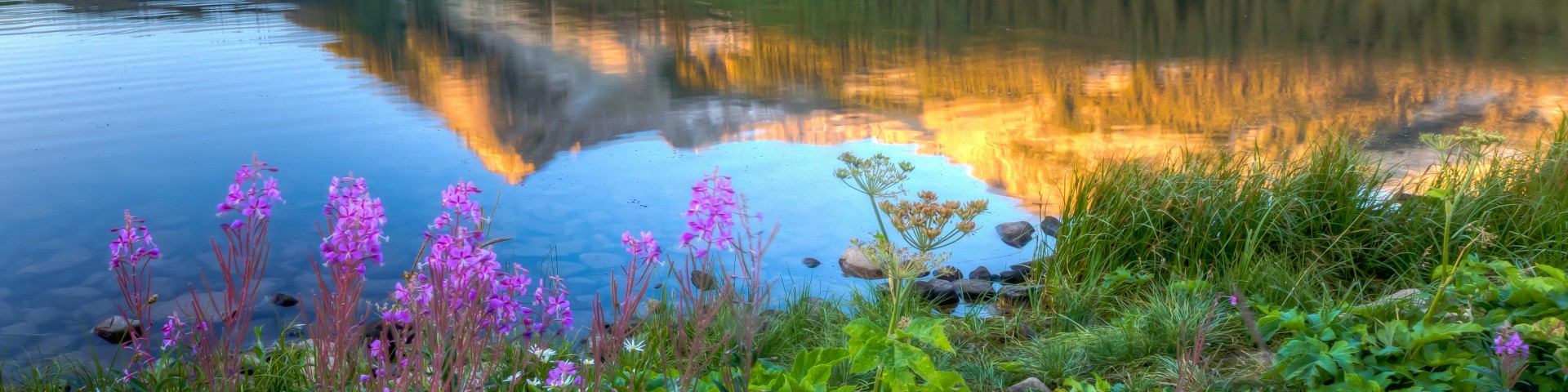
Regional Wilderness Program

What is Wilderness?

 
The Cloud Peak Wilderness, located in north-central Wyoming, is managed by the Bighorn National ForestIn 1964, the Congress of the United States took a far-sighted action by passing the Wilderness Act, legally designating certain federal lands as Wilderness. Congress preserved these lands: “…in order to assure that an increasing population, accompanied by expanding settlement and growing mechanization does not occupy and modify all areas within the United States and its possessions, leaving no lands designated for preservation and protection in their natural condition”. The Wilderness Act prohibits roads, mining, timber cutting and motorized vehicles in these areas.
 

Values and Benefits of Wilderness

 
The Eagles Nest Wilderness, located in central Colorado just north of I-70, is managed by the White River National ForestWilderness has many values and recognizing these diverse and unique values opens a world of understanding about the natural environment. Preserving Wilderness may someday be seen through eyes of historians as the most important contribution societies can make to the health of the global environment.
 

50th Anniversary of the Wilderness Act Signing

 
Wilderness Act 50th Anniversary logo and link to the Regional Wilderness Program's 50th Anniversary websiteOn September 3, 1964 President Lyndon B. Johnson signed into law the Wilderness Act. This historic bill established the National Wilderness Preservation System (NWPS) and set aside an initial 9.1 million acres of wildlands for the use and benefit of the American people. A national website has been dedicated to the 50th anniversary of the Wilderness Act, www.wilderness50th.org.
 

Regional Wilderness Information Map

 
The Black Elk Wilderness, located in west-central South Dakota near the Wyoming border, is managed by the Black Hills National ForestThe Rocky Mountain Region map below can be used as a starting place to find information regarding wilderness areas on US Forest Service lands located throughout our five-state region. When you move the cursor over the state you want to view wilderness information about, a filled-in map outline and tool tip will appear. Click on the map outline to view that state's wilderness information map in a new window. Repeat the same process with the state map as with this map and you will be able to select the individual national forest that you would like wilderness information about.
 
Rocky Mountain Region Wilderness Information MapMap of the Rocky Mountain Region with Wyoming highlighted - Click on the map outline to view the Wyoming Wilderness Information Map in a new window Map of the Rocky Mountain Region with South Dakota highlighted - Click on the map outline to view the South Dakota Wilderness Information Map in a new window Map of the Rocky Mountain Region with Nebraska highlighted - Click on the map outline to view the Nebraska Wilderness Information Map in a new window Map of the Rocky Mountain Region with Kansas highlighted - There are currently NO Congressionally-designated wilderness areas within Kansas Map of the Rocky Mountain Region with Colorado highlighted - Click on the map outline to view the Colorado Wilderness Information Map in a new window