The Forest is waiting, come explore!
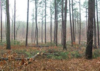
Mark Twain National Forest has a wide range of popular recreation opportunities. The forest has over 750 miles of trails for hiking, horseback riding, mountain biking, and motorized use.
Sections of the Ozark Trail wind through the forest. More than 350 miles of perennial streams, suitable for floating canoeing and kayaking, meander through its canopied expanses. Our campgrounds offer visitors a variety of forest experiences, including semi-primitive and wilderness camping for solitude.
Forest Reflections
Mark Twain National Forest had a fantastic year in 2024, with unique recreation opportunities like the eclipse, to big restoration and cleanup events, and many natural resource education events. See some of the highlights in our annual accomplishment report.
Recreation Opportunities


Passes and Permits

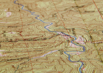
Maps and Guides
Safety and Ethics

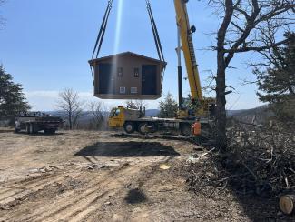
Timber Sales

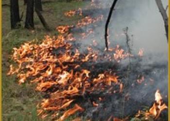
Fire
Collaborative Forest Landscape Restoration Project