Welcome to the George Washington & Jefferson National Forests
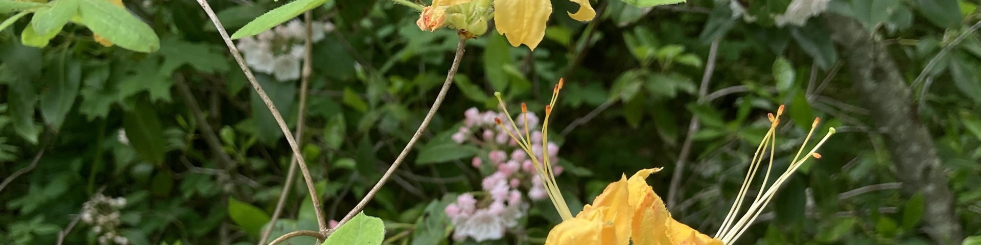
Stretching along the border of Virginia and West Virginia, the George Washington and Jefferson National Forest blankets the Blue Ridge mountains offering 1.8 million acres of lush woodlands, unique mountain balds, peaceful waterways, and adventures galore. With more wildlife and trails than you can explore in a lifetime, every route on the forest carries visitors to new memories. All four seasons are in abundance here, with the explosion of colors in the spring wildflowers challenged only by the flames of colors of the autumn leaves. Summer brings bears, deer, birds and a multiplicity of pollinators, while winter’s stillness is broken only by the crinkle of cracking ice cascades where frozen waterfalls shine in the sun. Come enjoy and explore the natural beauty at the heart of the Appalachian Trail!
CLINCH RANGER DISTRICT UPDATE: Bark Camp Campground and High Knob Campground & day use area will be open to the public starting July 4, 2025! See our Recreation Page for more details.
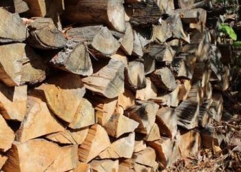
Firewood Cutting
Recreation Passes
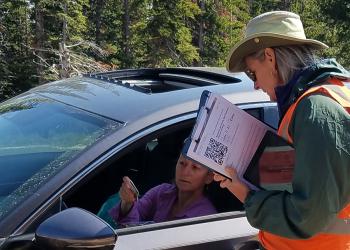
Recreation Reservations
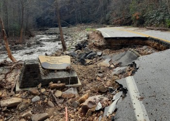
Disaster Recovery